Everything You Need to Know About Nautical Charts
Published by Chris Riley in nauticalknowhow Last updated on February 19, 2024
Every boater who’s serious about what they do needs to know how to read nautical charts. It’s a fundamental, like using a magnetic compass. The practice is becoming less and less common these days. Especially among recreational boaters. Most people who hit the water in their fishing boat or sailboat rely on electronic aids to navigation. But understanding chart symbols and how to read an entire chart can be a life saver. Let’s dig into everything you need to know about nautical charts and why you want them.
What is a Nautical Chart?
Nautical charts are charts that demonstrate all relevant features needed to properly navigate a body of water. They’re the nautical equivalent of land maps showing you how to get where you’re going and the features you need to be aware of. There are numerous elements included on a chart that can be important for boaters. These include:
Regional info: A chart has to tell you the geographical area that it represents.
Scale: Charts typically use a natural scale where any 1 unit on the chart represents a specific number of the same unit in the real world. This can be as simple as one inch equals one nautical mile. This is key for measuring distance.
Depths Note: The depths indicated on a chart will have their own scale. They may depict actual depth measurements in feet and fathoms or meters and decimeters. Six feet equals one fathom. Average depth is also covered.
Chart Notes: These cover things like dangers and warnings but in a way that won’t clutter the chart. Things like chart title are down in the corner near the notes as well.
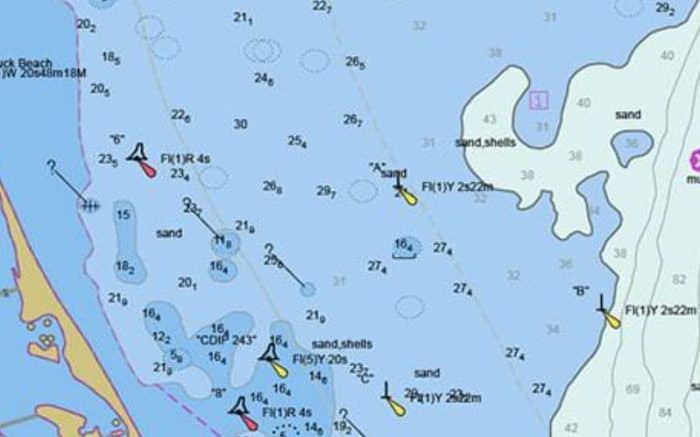
Navigation aids: Buoys, beacons, lights and other aids are listed on charts. In US waters alone you’ll find over 40,000 of these. Each will be depicted with different symbols. These aids indicate things like safe water or dredged channel limits.
Hydrographs: You’ll find these for both tidal and non-tidal waters. They show fluctuations in water levels over a year period. As well, they will indicate the highest and lowest water levels recorded.
Elevation contours: These contour lines are used to connect points that have equal elevation. These lines can help you identify geographical features like hills, cliffs or mountains.
Places: If your chart shows the coast you may also see towns, islands and other prominent land features.
Compass Rose: Showing principle directions including magnetic north and true north.
When Do You Use a Small Scale Chart?

Different charts typically use different scales. Scale units can vary based on country of origin so keep that in mind. Some charts may use metric scale while American charts are typically listed in imperial units. Some will include both. Make sure you double check the unit of distance represented by any scale regardless of the chart.
Scale is represented as a 1:X ratio where one unit on the chart represents X units of measurement in the real world. So on a 1:100,000 chart, 1 inch on the chart could equal one hundred thousand inches on land. Again, always check the scale measurements the chart uses.
Chart scales can range from very small to quite large. There isn’t a set in stone number for each type of chart. That said, in general, you’ll see the following types of charts using scales in the neighborhood of what we have listed.
- A harbor chart is a large scale chart:
About 1:2 001 to 1:20 000
These are used for navigation in harbors or hazardous, shoal-infested waters.
- Approach charts are slightly smaller:
Around 1:20 001 to 1:50 000
These are used for approaching coasts when you would benefit from high detail.
- Coastal charts are smaller again:
About 1:50 001 to 1:150 000
These are used for fishing. They show continuous extensive coverage with a lot of inshore detail to make landfall sightings easy.
- General charts are smaller still and as the name suggests for general use:
Typically 1:150 001 to 1:500 000
These provide a lot of offshore coverage with enough inshore detail to make landfall sightings easy.
- Sailing charts are some of the smallest charts:
About 1:500 001 and smaller
These are used for offshore navigation when you are no longer in sight of land.
These small scale charts are the kind you want to only use in open water. They don’t offer a ton of intricate detail because you don’t really need it. Small scale charts are more prone to scale error. They are also updated less often because of the larger areas covered. The closer to shore you get, the larger scale you’ll want. You want to see features like depths, shoals, and other features that can affect your ability to navigate. A small scale chart will not help with planning harbor approaches and other activities that require detailed information.
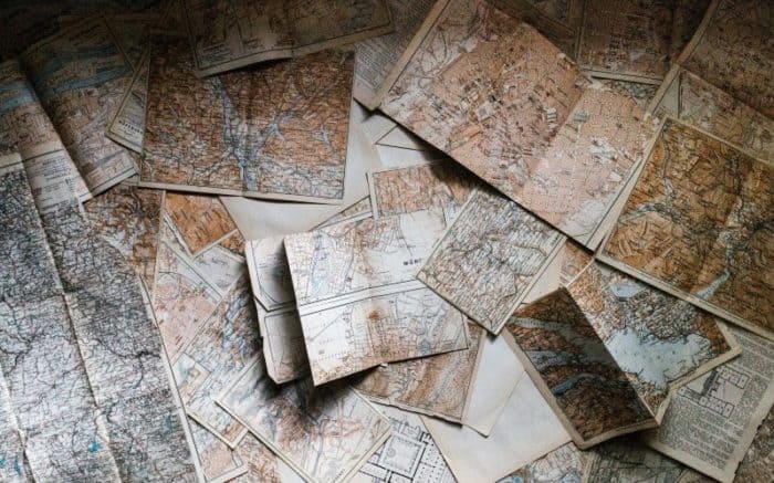
Electronic Nautical Charts vs Paper Charts
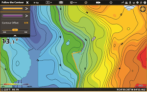
Many charts available today are electronic. There are multiple services that can provide you with software and apps. The subscription fees for some of these can get quite pricey, however. That said, electronic charts are often highly detailed and user friendly. The scale can be altered on some to offer more or less detail as needed. You can focus on the specific features you are interested in and so on.
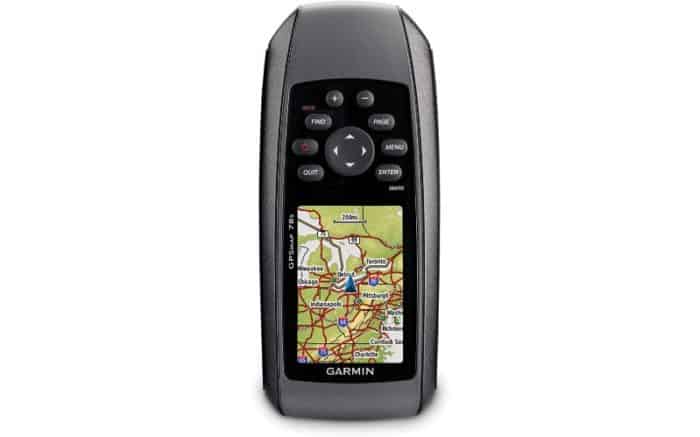
Electronic charts offer a lot of convenience over paper nautical charts. The fact they can be portable so you can view them on multiple devices is very handy. The interactive features make them easy to understand. Plus they can be used with other devices like GPS and chart plotters. This can make charting a course a quick and efficient task. That said, there’s a potential downside as well.
The one major drawback of electronic charts is right in the name. They’re electronic. If something happens to your power supply or the device on which you’re accessing the chart, they’re done. This is why we believe it’s extremely important to have paper nautical chart backups and to know how to use them.
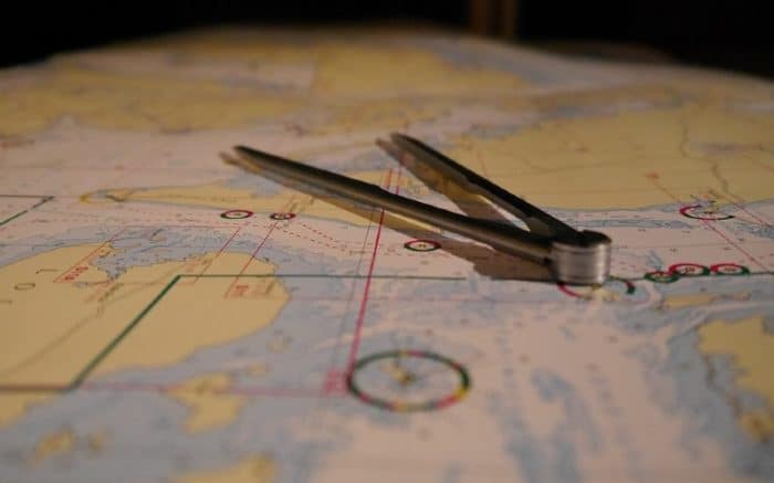
Getting to know how to use divides and a parallel rule to plot courses on a paper chart doesn’t take long. And you may be surprised to find how helpful a paper chart can actually be.
In terms of navigation, a paper chart does offer a more relatable sense of space. Consider watching a movie on your phone versus watching one in the theater. This is similar to electronic vs paper charts. Paper charts are larger and give you a better feel for scale when you use them. Plus there’s something to be said for the tactile process of actually using one to plot a course that is lost with electronic charts.
The major downsides to paper charts are the fact they can be so large. That means you need to make the space to store them, something that can be a hassle. This is especially true if you aren’t used to having them on hand. The other big downside is viability. Paper charts will eventually go out of date while electronic ones can easily be updated constantly.
Another unexpected downside of paper charts is the rising cost. Because electronic charts have become the norm, the production of paper charts has become more of a niche. That means the ones that are made tend to be even more expensive. In a weird way, paper charts are making themselves obsolete as a result. That said, you can still find high resolution charts as jpegs or other electronic files that you can potentially print yourself. Many businesses offer large-sized custom printing and the results are high quality and less expensive than standard paper charts.
There are also places you can buy charts and even have them printed on demand, such as Ocean Grafix.
Electronic charts can be found on the NOAA website. Their electronic navigational charts or ENCs are available to cover a wide range of areas. These are used to provide real-time ship positioning, as well as collision and grounding avoidance. There are over 1000 available that cover US coastal waters as well as the Great Lakes. If you’re looking to plan some real navigation, you should purchase official charts however. The screen images from the NOAA site will not provide reliable and accurate enough data to use for real world navigation.
We feel like electronic charts are definitely the best first choice these days for navigation and course plotting. But we also feel like it’s very important to keep paper charts on hand as well. Take the time to learn how to use them. In an emergency, this will be invaluable.
Take Caution with Electronic Charts
Although electronic charts are incredibly helpful, they have a problem which paper charts do not. Overzooming is something many electronic charts allow you to do. You can zoom in well beyond the scale of the chart. While this seems helpful, it can actually be dangerous. Zooming past the scale of a chart opens up the potential for some serious errors. The error level may increase considerably at this point. Remember, at certain scales it is inevitable that some errors are going to occur. Overzooming makes this worse and if you do this to try to navigate certain areas, it could provide faulty data. Always check your scale on electronic charts and make sure you have not exceeded the scale.
Another thing to be aware of is that electronic charts can allow for sloppy work. A paper chart only works if you do it correctly. You need to use your ruler and get in there with your hands and a divider and plot point to point. An electronic chart offers shortcuts that allow you to miss small details. This is especially true on small scale charts. Always remember to review what you’ve plotted in and zoom in to get the details.
History of Nautical Charts
Nautical charts are not nearly as old as you might think. While mapmakers were busy plotting the land for ages, nautical charts are only a few hundred years old. That’s not to say sailors in the past didn’t have their own maps. Often they did use maps which outlined coastal areas and islands. These were combined with an oral tradition of how to sail and navigate certain journeys. But they were not nautical charts as we understand them today.
Portolan maps date back to around the year 1270. These covered parts of the Mediterranean. In the 1400s sailing instructions for the North and Baltic Seas were available. Rudimentary nautical charts were developed towards the end of the 17th century.
In the 1800s, Germans began producing detailed nautical charts. Meanwhile, in America, the Office of Coast Survey was also handling this task. The oldest scientific organization in America, it is the only official chart maker in the country as well. They were brought into being by an act of Congress in 1807 when it was declared a survey of the coast needed to be carried out.
In 1836, the group became known as the US Coast Survey. In 1878 the name changed again as they became known as the US Coast and Geodetic Survey. By 1972 the name was changed again to the National Ocean Survey. They were now under the direction of the National Oceanic and Atmospheric Administration or NOAA. In 1982 the name changed yet again to the National Ocean Service. Believe it or not, they went ahead and changed the name again in 1991, back to Coast and Geodetic Survey.
In total the US covers 12 nautical miles for its territorial sea and 200 nautical miles for fisheries jurisdiction. This includes the Exclusive Economic Zone (EEZ) for the exploration and management of both living and nonliving marine resources. This area covers approximately 3.4 million nautical square miles. As you can imagine, a lot of charts need to be developed to accurately cover so much space.
How Often are Charts Updated?
Nautical charts represent an ever-changing world. The climate, natural disasters, construction and more can greatly influence what a chart needs to cover. Consider if a marina is built, a man-made island, or other such feature. Many things can affect the overall coast line, water depth, and navigation aids like buoys or signal lights.
Charts can be updated as frequently as every six months. With electronic charts, this kind of update is much easier to perform and integrate with existing information. However, some charts may go years with no updates. This is particularly true for very remote areas, or ones that receive little traffic. As you can imagine, if few people ever go someplace, there is little demand to keep charts timely.
Some charts may not be updated for as many as 12 years. However, on average, you can expect about 2 years before a chart is updated.
Do You Need Nautical Charts?
Many boaters feel like nautical charters are meant for commercial or military vessels. This just isn’t true. Recreational boaters can absolutely benefit from nautical charts and should be making use of them.
GPS is heavily relied on by most recreational boaters when it comes to navigation, But charts can and do reduce accidents at sea. Deaths at sea are far less common these days thanks to advances in technology. However, with the rise in the number of boaters, accidents and injuries have increased substantially. This includes property damage in excess of $35 million per year.
In many cases, boaters do not have storage space set aside for paper charts. And they have not elected to invest in electronic charts, either. This has resulted in substantial numbers of recreational boaters calling for help from the US Coast Guard. Many distress calls are a result of boaters who are lost and do not know how to navigate back to safety. Sometimes this happens when they’re still in view of land.
Categories: nauticalknowhow